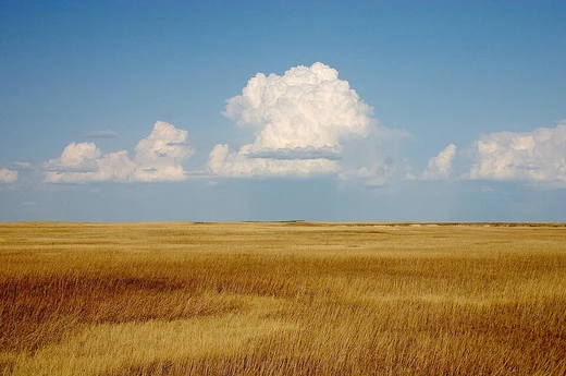
Sahara
The largest hot desert on Earth, spanning North Africa.
The Sahara is a desert spanning North Africa. The name 'Sahara' is derived from Arabic, meaning 'desert'.
- type
- Largest hot desert; third-largest desert overall
- location
- North Africa, covering parts of Algeria, Chad, Egypt, Libya, Mali, Mauritania, Niger, Western Sahara, Sudan, southern Morocco, and Tunisia
- highest_peak
- Emi Koussi, a shield volcano in the Tibesti range of northern Chad
- borders
- Mediterranean Sea to the north; Atlantic Ocean to the west; Sahel to the south; Red Sea to the east
- climate
- Hot desert climate (Köppen BWh) with extremely high sunshine duration and negligible rainfall
Lore & Background
The Sahara covers 31% of the African continent and is one of three distinct physiographic provinces of the African massive physiographic division. It is so large and bright that, in theory, it could be detected from other stars as a surface feature of Earth with near-current technology. The desert is highly diverse, composed of hamada (rocky plateaus), ergs (sand seas), gravel plains, dry valleys, dry lakes, and salt flats, with many sand dunes rising over 180 metres.
Reader's Guide
The Sahara's significance lies in its vast scale and extreme aridity, shaping the climate and ecology of North Africa. The central Sahara is hyperarid, with areas such as the Tanezrouft, Ténéré, Libyan Desert, and Nubian Desert often receiving no rain for years. The desert's climate is dominated by the subtropical ridge, which prevents cloud formation and rainfall, making the Libyan Desert one of the sunniest and driest places on Earth. Important cities within the Sahara include Nouakchott, Tamanrasset, Timbuktu, Agadez, and Ghat.
Did You Know?
- The Sahara is the largest hot desert in the world and the third-largest desert overall, after Antarctica and the Arctic.
- The highest peak in the Sahara is Emi Koussi, a shield volcano in the Tibesti range of northern Chad.
- The Sahara covers 31% of the African continent.
- The name 'Sahara' is derived from the Arabic word ṣaḥrā', meaning 'desert'.
More in Desert Landscapes 1-18
Spotted an error? Know more?
This is a living reference — every entry is fact-audited, and reader corrections feed straight into our audit queue. Suggest an edit · See this site's audit record